
Buena Park ZIP Coverage by Area
Four ZIP codes serve different functions in the Buena Park postal geography. The street-delivery ZIPs are 90620 and 90621. The research identifies 90622 and 90624 as Buena Park post-office ZIP functions, so they should not be treated as residential street areas. The broad area descriptions below are orientation only. The official USPS lookup controls for a particular street, building, or box.
| ZIP Code | Areas Covered | Post-Office Context | Boundary Notes |
|---|---|---|---|
| 90620 | Primarily western and northern Buena Park, including areas west of Beach Boulevard and north or west tracts | Buena Park postal city | Verify each street with USPS |
| 90621 | Primarily central and eastern Buena Park, including City Hall and areas east of Beach Boulevard | Buena Park postal city | Postal label does not prove city limit |
| 90622 | Buena Park post-office box function | PO-box delivery | Do not infer residential street population |
| 90624 | Buena Park post-office box function | PO-box delivery | Verify box assignment with USPS |
The ZIP code directory is most useful when it states the delivery function beside the number. A PO-box ZIP should not be counted as a neighborhood, and Beach Boulevard should not be treated as a universal official boundary without an address-level check.
Buena Park Street ZIPs and PO Boxes
Street-delivery ZIP codes route mail to a geographic delivery area. A PO-box ZIP routes mail to boxes at a post office. Those are different location types. A person using a box may have no street delivery address in the same ZIP, and a street address can carry a postal city label that does not match the municipal jurisdiction.
Do not use 90622 or 90624 as if they were residential slices of the city. For a street address, use the exact USPS lookup result, then compare the address with Buena Park's city border and parcel layers. The ZIP code directory narrows the postal question; it does not replace the address and APN chain.
- Street-delivery ZIP
- A ZIP assigned to routes serving physical street addresses.
- PO-box ZIP
- A ZIP used for post-office box delivery, with no basis for inferring a neighborhood.
- ZIP+4
- A nine-digit extension that narrows a delivery point within the five-digit ZIP.
- Carrier route
- A postal delivery route inside a ZIP, not a public resident roster.
Note: A postal box and a street parcel can belong to the same person without sharing a location record.
Finding Residents by Buena Park ZIP Code
A ZIP-keyed search should move from delivery validation to public record scope. The assessor page does not accept a ZIP field and returns only an eight-digit APN result with owner information omitted. The voter self-lookup has no ZIP authentication field and is not a by-name directory. City GIS can browse mapped areas, but the inspected locator is an address and place service rather than a documented ZIP-wide resident list.
- Verify the exact street or box address with the official USPS ZIP lookup.
- Check whether the address resolves in the Buena Park GIS address-point and parcel layers.
- Save the APN when the question concerns property, then use the county's APN-only assessor route.
- Use the permitted voter-data process only when the requester and purpose qualify under California law.
- Once a ZIP narrows to a street, move to the Buena Park street directory address workflow.
A ZIP filter is therefore a narrowing step, not a residents roll. The output should state whether it describes mail delivery, parcels, a district, or an authenticated voter.
Buena Park ZIP Lookup Fields
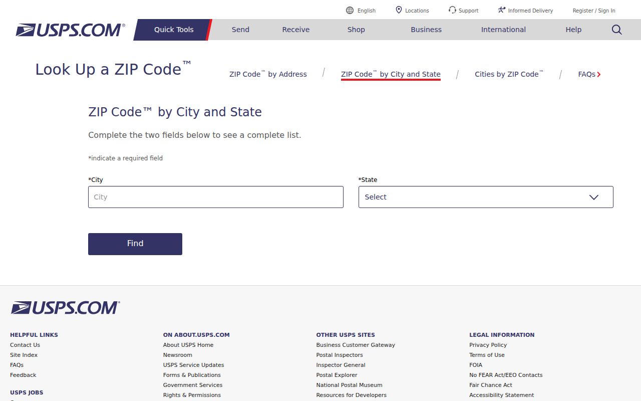
The USPS city-and-state lookup and street-address lookup answer different validation questions. A supplied city and state can return ZIP choices for a place name. A supplied street address can test the current delivery assignment. The official public page does not publish a complete neighborhood-boundary narrative for Buena Park, so a ZIP code directory should not invent one from a map impression.
| City and state | Checks ZIP options associated with a postal city and state. |
|---|---|
| Street address | Checks the current mailing ZIP for a supplied delivery address. |
| Five-digit ZIP | Broad delivery area used for the core postal assignment. |
| ZIP+4 | More precise delivery extension when USPS returns one. |
| Result use | Postal verification, not proof of municipal jurisdiction or residence. |
The USPS ZIP Code Lookup screenshot below shows the authority to use for the supplied address.
Keep the lookup date. ZIP assignments and postal forms can change, while an older record may retain a former mailing label.
Where Buena Park ZIPs Meet City Limits
Three geographies must be kept apart: the USPS delivery designation, the municipal boundary, and the county parcel. A Buena Park mailing name can occur near an edge or in a regional service area. An address inside the city can also sit in a parcel or district that does not follow the ZIP's shape. Council districts, tract names, ZIP codes, and county assessment parcels are separate layers.
For a records search, use USPS for the mailing answer, Buena Park GIS for the city map, and the Orange County Assessor or Clerk-Recorder for parcel and title questions. A single ZIP number should never be used to infer a person's city status, ownership, or household.
Three checks. Confirm the postal ZIP with USPS, the city border with Buena Park GIS, and the parcel identifier with the county source.
90620 and 90621 Are Not Halves
The research describes 90620 as primarily western and northern and 90621 as primarily central and eastern, with Beach Boulevard as a useful orientation line. That does not make the boulevard a hard universal boundary. Edge addresses, postal routing, and map layers require individual verification.
Use the broad descriptions to choose the next check, not to decide a result. A USPS response is stronger for delivery. A city address point is stronger for municipal mapping. An APN and legal description are stronger for property continuity. The same address can have a postal label, city relationship, and parcel record that do not line up perfectly in wording.
Note: A ZIP code directory should say “primarily” when the research does not establish a parcel-by-parcel boundary narrative.
Buena Park Address Points and NG9-1-1
Buena Park's address locator metadata is unusually useful because its address points and centerlines are built with NG9-1-1 and NENA compatibility in mind. That means precise address-point and range data matter for emergency and municipal mapping. A ZIP code is a postal routing label and cannot replace the address point used to find a parcel or location.
The locator supports units, buildings, abbreviations, intersections, reverse geocoding, and a 2,000-record batch limit. These controls explain why one spelling may resolve while another does not. Preserve the input and returned form so a county or city request can be made with the same location language.
The GIS portal's “as is” context still applies. Confirm a record with the custodian when the address controls a legal or property request.
Buena Park Districts, Tracts, and ZIPs
The city's official map layers include city border, council districts, Census block groups, centerlines, railroads, address points, and parcels in the CDBG map context. The Neighborhood Communities map names unofficial areas including Presidents Tract, Generals Tract, Lakeside, and University Gables. None of those layers is a resident or association-member directory.
For a ZIP code directory search, use the layers to understand why a postal area can cross or approach a civic boundary. Use a tract name in a historical search, a district for civic geography, a block group for statistical context, and an APN for property continuity. Do not merge them into one label.
When a ZIP question becomes a street question, the address-keyed record chain takes over. A parcel, deed reference, and city locator result can be retained without turning a map into a list of people.
Responsible Buena Park ZIP Research
ZIP information is public geography, but a ZIP code directory should not be used to infer a household, protected address, or current person. California voter records remain restricted, Safe at Home can conceal eligible participants, and the county assessor web page does not expose owner names. A postal result is therefore a delivery fact, not a license to identify everyone nearby.
Keep personal, lawful research narrow. Save the exact address, the lookup date, the source, and the limitation. If a city or county record is needed, make a reasonably described California Public Records Act request to the proper custodian. If the question is current property or a named person, move to the official record type rather than expanding a ZIP search.
Note: The useful endpoint of a ZIP search is a verified next record, not an invented neighborhood roster.