
Find Buena Park Neighbors by Block
A block-level Buena Park neighbors search needs several sources because each one describes a different layer. GIS supplies geometry and address points. The assessor supplies an APN-centered annual value view, but the public web result hides owner names. Recorded documents identify title parties after a parcel is known. Permits identify work and project participants. The voter system protects by-name access, and historical directories can show a past household.
| Source | What It Shows About a Block | Access |
|---|---|---|
| Buena Park GIS | Adjacent geometry, address points, districts, tract areas | Free map browse; “as is” context |
| Orange County Assessor | One APN's annual value and exemption concepts | Free APN-only result; owner hidden |
| Recorded deeds | Named title parties for identified parcels | Free index; order document pages |
| City permits | Project work, dates, and named participants | Defined city request |
| Voter information | Registration fields for an approved purpose | Restricted application; no casual browse |
| Neighborhood Communities layer | Unofficial tract and development names | Public map; no member names |
Owners, mailing recipients, occupants, household members, and visitors are not interchangeable. A block map can show where parcels meet and a deed can name a party, but neither is a complete list of Buena Park neighbors.
Buena Park Block Lookup Sources
The city's official GIS catalog includes the city border, address, parcel, centerline, council-district, Census block-group, railroad, and neighborhood layers depending on the selected map. The CDBG map item was updated January 8, 2025 and combines several of those public geography layers. It is useful for block context because it shows how a target parcel sits inside civic and statistical boundaries without exposing private rosters.
The Buena Park GIS portal carries an “as is” limitation and layer-dependent popups. Record the map title, layer, address, APN, and date. A map can change while the parcel record or deed remains tied to the same legal description.
- Block context
- The public geometry, districts, streets, and parcels around an address.
- Buffer
- A distance or surrounding-area view, whose exact control depends on the selected viewer.
- APN
- The county parcel identifier used to move from map geometry to property records.
- Community layer
- A geographic label such as a tract or development area, not a roster.
Note: Use a map to choose the next official record, not to turn a visible block into a list of people.
Buena Park Block Parcels and Ownership
Start with one address and click outward. The city locator checks exact address points before centerline ranges, supports units and intersections, and can reverse-geocode a map location. Once the target resolves, zoom until parcel boundaries and address points are legible. Select the target, then each touching or facing parcel, saving APNs and situs addresses before looking for names.
- Run the exact address through the Buena Park locator and preserve the normalized result.
- Turn on parcel and address layers, select the target, and record its APN and legal context.
- Pan to touching or facing parcels and save each APN as a separate row.
- Use the county APN page for annual value concepts, remembering that owner names are omitted online.
- Use the recorder index or a defined city permit request when a named record is genuinely needed.
A neighbor map shows a block relationship. It does not establish that a mailing owner lives at the situs, that a household member is present, or that a person has consented to contact. For the whole named street, the address chain belongs in the Buena Park street directory workflow.
Record APNs Before Buena Park Names
The Orange County assessor web tool accepts exactly eight numeric APN digits and deliberately does not support owner-name search. Its result reflects annual assessment-roll values and exemption amounts, with the research page showing a January 1, 2026 roll date. The owner name is not in the public result. That design makes the APN the safer first note for a block search.
After the APN is saved, a recorded-document search can identify deed parties by name and instrument. A mailing address can be a separate destination, and a deed party can be a trust, estate, or representative. The word “owner” should be used only when the record supports that role; it should not be used as shorthand for neighbor or occupant.
| Map key | Address point and parcel geometry from Buena Park GIS. |
|---|---|
| County key | Eight-digit APN entered into the secured-value search. |
| Web result | Annual values and exemption concepts, without owner name. |
| Title key | Recorder instrument or book-and-page reference for a document copy. |
| Occupancy limit | None of these keys is a complete household or neighbor list. |
Presidents Tract and Buena Park Communities
Buena Park's official Neighborhood Communities map names Presidents Tract, Generals Tract, Lakeside, and University Gables. The labels are unusually useful for local-history and block context. Presidents Tract uses presidential street names, Generals Tract uses generals, and Lakeside and University Gables reflect development identities. Search those terms with the street address in permits, newspapers, photos, or historical collections.
The map calls these areas unofficial small-community or tract names. No citywide official HOA or association-member directory was located in the research. The absence of a roster is important: a named tract should not be presented as an association contact list.
| Community layer | What It Contributes | What It Does Not Provide |
|---|---|---|
| Presidents Tract | Development and street-name context | Member or household roster |
| Generals Tract | Neighborhood-history search term | Association contact directory |
| Lakeside | Map and development identity | Private resident list |
| University Gables | Tract vocabulary for local research | Proof of membership or residence |
The official Neighborhood Communities map is the source for these labels.
Buena Park Voter Data at Block Scale
California voter information cannot be casually browsed by block. The Orange County self-service voter tool authenticates the voter with personal fields and returns that voter's registration and district information. A qualified data applicant may request a defined extract, but the application requires a wet signature, permitted purpose, security explanation, supporting documents, payment, and identification. The voter-data request rules describe that qualified route. Commercial use is prohibited.
Elections Code sections 2188, 2194, and 18109, Government Code section 7924.000, and related regulations limit release. Driver-license or Social Security numbers and signatures are not released for permitted file uses. Safe at Home participants may be confidential voters, and an ordinary absence can also reflect a move or inactive status.
For neighbors research, the legal and ethical answer is to use the voter route only when the requester qualifies. A parcel map and civic district can explain a block without exposing a restricted voter roll.
Buena Park Permits and the Built Block
City planning, building, and code records add physical history to a Buena Park neighbors search. A permit can show work at an address, an applicant, contractor, owner, or project contact. It may explain why two adjacent parcels look different or why a building footprint changed. It is not evidence that a named person lived at the site.
Ask the responsible city department for a defined address, record type, and date range. Use the GIS result to avoid a wrong unit or parcel. Then compare the permit date with a deed reference or directory year. Privacy, security, and investigation redactions can limit the request under the California Public Records Act.
- Normalize the address and save the parcel context.
- Identify the project period and department before requesting records.
- Separate applicant, contractor, title party, and occupant as different roles.
- Use the physical change as context for a block or house-history question.
Official Rolls and Neighbor Tools
Commercial neighbor tools often combine public and commercial data, merge same-name people, retain stale addresses, and charge for uncertain results. Official records are slower and narrower, but their custodian, field definitions, and access rules are visible. The comparison is about evidence quality, not a shortcut to a personal roster.
| Source Type | Strength | Limit |
|---|---|---|
| City GIS | Parcel and block geography | Layer-dependent, “as is,” no private roster |
| Assessor APN page | Annual parcel value context | Owner name omitted; APN required |
| Recorder index | Named parties and document reference | Not every occupant; images ordered separately |
| Commercial tool category | May gather scattered clues quickly | Accuracy, freshness, cost, and lawful-use concerns |
Use an official custodian when the result needs correction, certification, or a defined field. A third-party result cannot amend an assessor, deed, voter, or court record.
Buena Park Privacy Sources
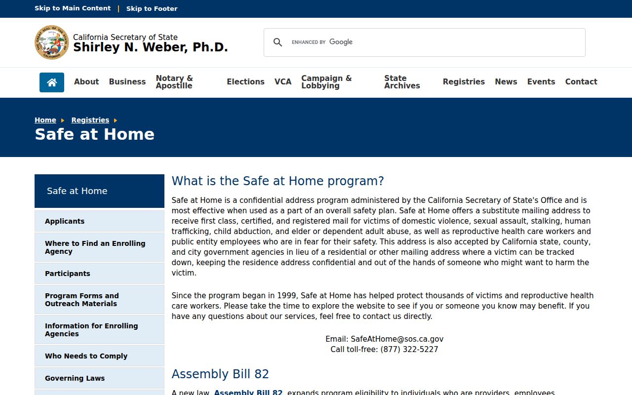
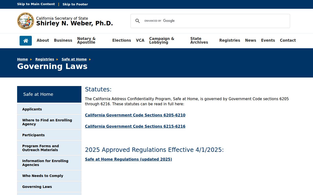
Safe at Home gives eligible participants a substitute mailing address and confidential voter registration under Government Code sections 6205-6216. The program does not erase older public records, but it does mean that a neighbor search must not try to reconstruct a protected address from map, deed, voter, or family clues.
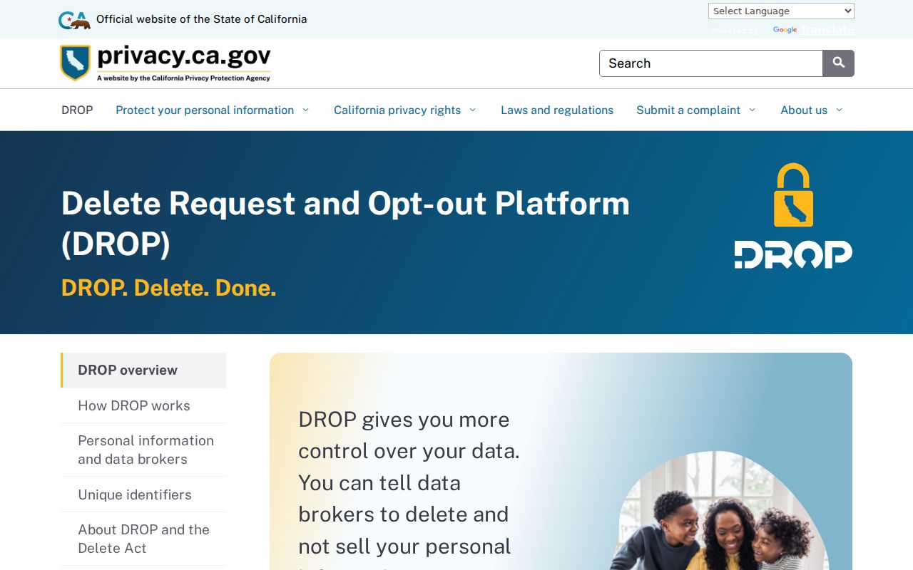
California's Delete Request and Opt-out Platform, DROP, launched in 2026 for qualifying data-broker deletion requests. DROP is separate from correcting a city permit, assessor fact, deed index, or court association. Use the custodian's correction process for an official record and the state's privacy process for covered broker data.
The California Safe at Home program source is captured below.
The program's governing-law source is also available for current eligibility and statutory detail.
Buena Park Library and Current Block Context
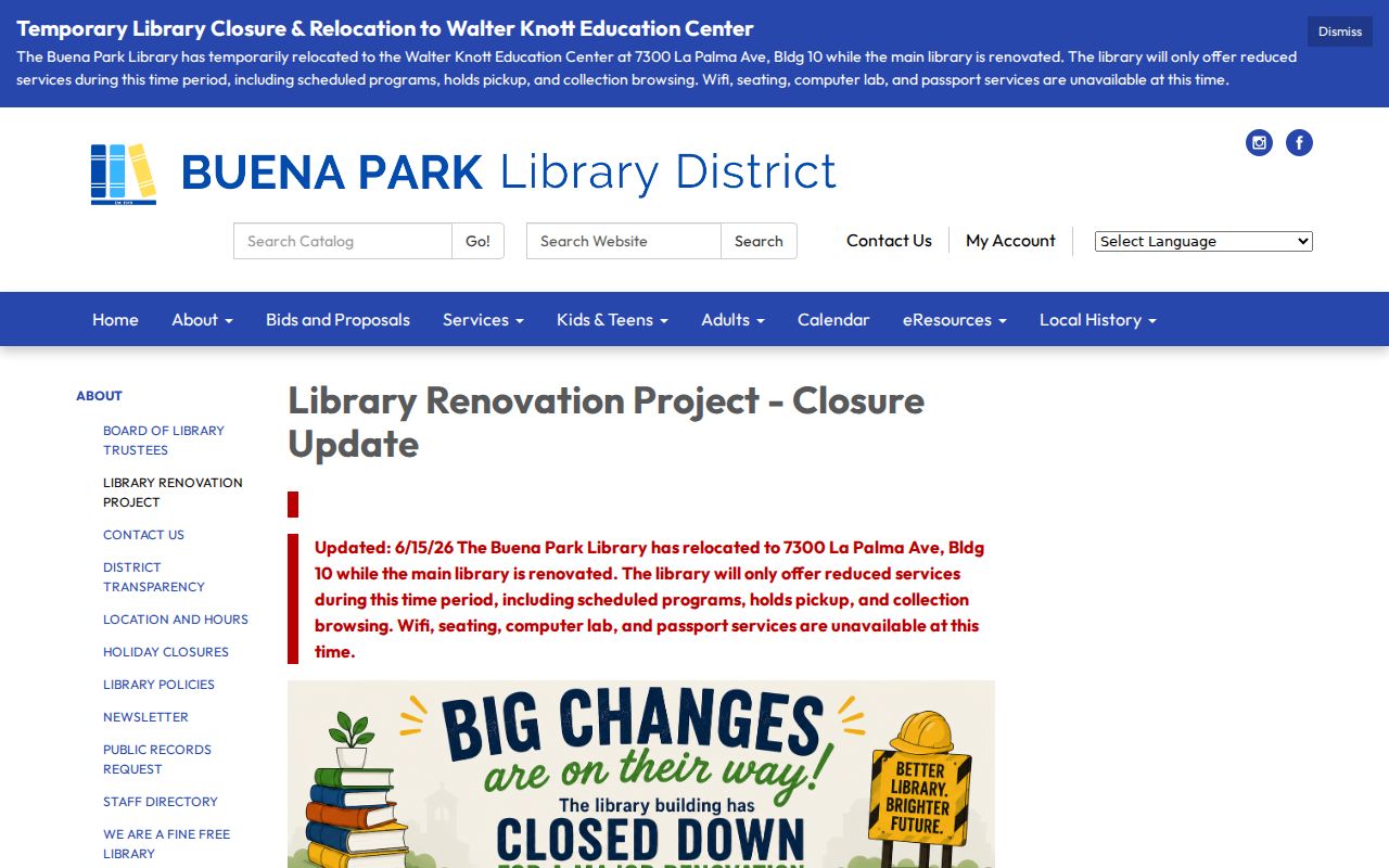
The Buena Park Library renovation changes the practical route for local-history and community research. Since June 15, 2026, reduced service is at Walter Knott Education Center, 7300 La Palma Avenue, Building 10, Monday through Thursday 10-8 and Friday through Saturday 10-5. The temporary site has no Wi-Fi, seating, or computer lab. Confirm access before planning a block-history visit.
The California DROP platform also launched in 2026, giving consumers a state route for covered data-broker deletion. These current changes matter because neighbors work can involve both a public geography source and a privacy boundary. Keep a source date beside every result.
The state's deletion platform is captured below as a privacy boundary for block research.
Privacy choices should be handled through the state platform or the responsible custodian, not by trying to rebuild a protected address from a map.
Buena Park Neighbor Lookup Boundaries
A Buena Park neighbors search can show parcels, public map layers, districts, recorded title parties, and project history. It cannot establish household membership, visitors, utility customers, delivery recipients, or a protected person's location. A mailing owner may live elsewhere. A public name may belong to a different person. These limits are part of the record's meaning.
Lawful use. Use neighbor information for getting to know a block, personal safety awareness, civic geography, or a defined property question. Never use it to watch, stalk, harass, threaten, or intimidate anyone.
If the objective is the full history of one named street, use the street directory workflow. If the objective is one person's record, use the resident lookup workflow. The block view should stop at the evidence needed for the question and respect confidentiality programs.
Note: The most accurate answer about Buena Park neighbors may be a parcel relationship with no public name attached.